Bengaluru East City Corporation to Use AI for Scientific Road Maintenance, Targets Pothole-Free Roads
Bengaluru East City Corporation has completed an AI-based survey of around 1,600 km of roads, classifying road conditions and identifying potholes to support scientific maintenance. The Corporation plans to begin a pilot in Vibhuthipura Ward before expanding the initiative across all 50 wards.
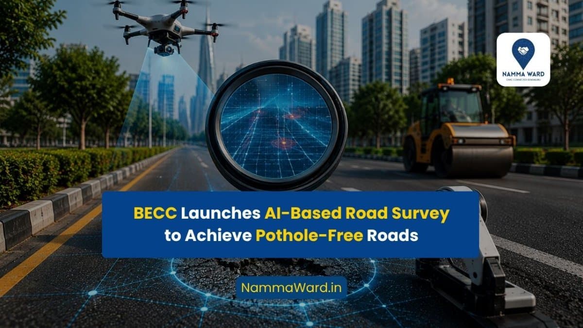
Bengaluru, July 22: The Bengaluru East City Corporation has initiated an Artificial Intelligence (AI)-based road assessment programme aimed at improving road maintenance and developing a scientific action plan to achieve pothole-free roads across its jurisdiction.
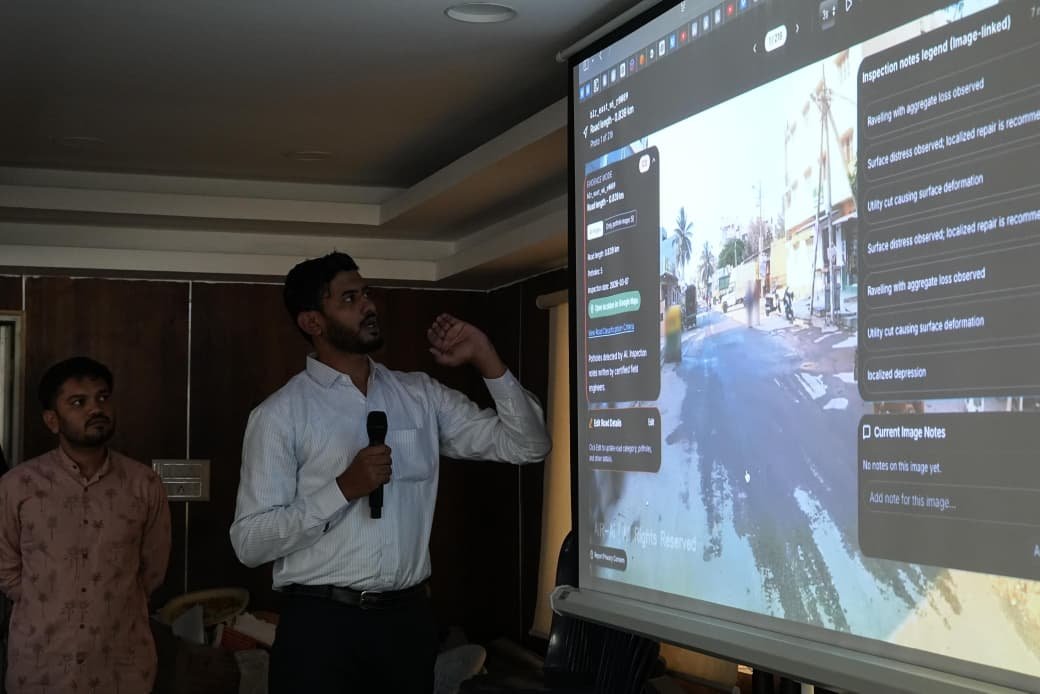
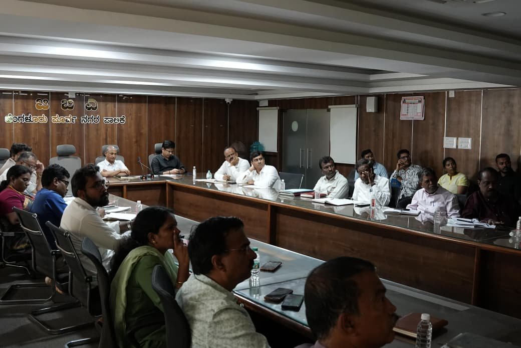
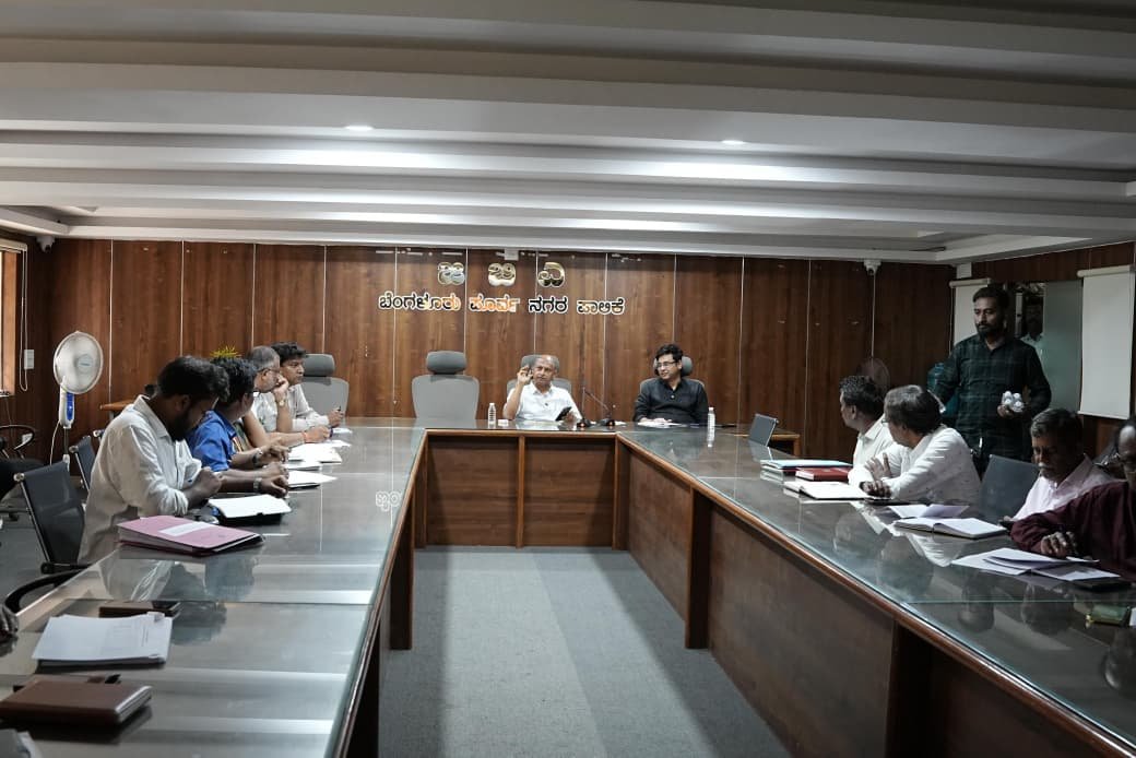
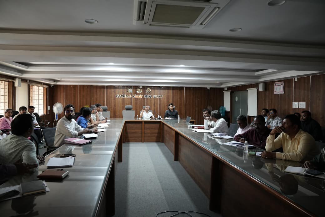
Commissioner D.S. Ramesh reviewed the initiative during a meeting with Engineering Department officials, where the focus was on using AI technology for road condition assessment, maintenance planning, and infrastructure development.
AI Survey Covers 1,600 km of Roads
As part of a pilot initiative, survey vehicles equipped with specialised cameras scanned approximately 1,600 kilometres of roads across the Bengaluru East City Corporation limits using the YOLO image-processing model.
According to the Corporation, the survey collected data on:
- Road conditions
- Potholes
- Pavement distress
- Utility road cuts
- Other road-related infrastructure issues
The collected information will support planning and prioritisation of maintenance activities.
Roads Classified into Five Categories
Based on the AI assessment, roads have been grouped into five categories:
- Category 1 - Roads in good condition
- Category 2 - Roads with minor surface cracks
- Category 3 - Roads with structural failures caused by sub-base damage
- Category 4 - Roads damaged due to BWSSB or other utility works
- Category 5 - Severely damaged or unpaved roads
Officials said this classification will help prioritise repair and development works based on road condition.
Digital Record for Every Road
The Corporation has assigned a unique Road Identification Number to each road as part of a digital road management system.
The digital platform stores:
- Road name
- Ward number
- GPS location
- Road length
- Photographs
- Damage assessment
Officials said the system is intended to simplify future maintenance planning and monitoring.
AI-Based Estimation for Road Repairs
The Corporation is also using a Vision Language Model to measure the dimensions of potholes.
According to the AI assessment:
- Approximately 144 square metres of patchwork has been identified in Vibhuthipura Ward.
Officials said the data will help estimate the quantity of hot mix asphalt, construction materials, and project costs required for pothole repairs that are not already included in sanctioned road development projects.
Vibhuthipura Selected for Pilot
Roads in all 50 wards of the Corporation have been surveyed during the first phase.
The survey identified approximately:
- 144 potholes in Vibhuthipura Ward
- An average of 17 potholes per kilometre
The AI dashboard includes the location, dimensions, depth, GPS coordinates, and photographs of each pothole.
Commissioner D.S. Ramesh directed officials to prepare an action plan to make Vibhuthipura a pothole-free ward within one week as a pilot project.
One-Month Target for Pothole-Free Roads
The Corporation plans to finalise ward-wise priorities across its zones with the objective of repairing potholes in one ward within two days.
Officials have been instructed to:
- Form dedicated engineering teams
- Prepare estimates for asphalt and machinery requirements
- Plan resource allocation for road repairs
Standard Procedure for Patchwork
To improve the durability of repairs, officials have been instructed to:
- Cut potholes into rectangular shapes during the day
- Level the surface and apply a prime coat
- Carry out hot mix patchwork and rolling during the night
AI to Support Road Widening
The AI platform will also be used to map roads identified under the city's Revised Master Plan.
The system will compare existing road widths with planned widths at intervals of 30 to 50 metres to help identify encroachments and support future road widening projects.
Construction Waste Clearance Underway
The Corporation reported that around 6,700 metric tonnes of construction and demolition waste had been identified along public roads.
According to officials:
- Nearly 5,000 metric tonnes have already been cleared.
- Around 85-90% of the identified waste has been removed in the Mahadevapura Zone.
Officials have been directed to complete clearance in both zones by August 1.
Property owners have also been instructed to remove construction waste dumped on private properties at their own expense.
Coordination with Other Agencies
The Commissioner instructed officials to coordinate with agencies including:
- Railways
- BMRCL
- National Highways Authority
- BESCOM
The Corporation will prepare a list of construction waste located within these agencies' jurisdictions for coordinated removal. Officials will also identify BESCOM utility installations obstructing pedestrian movement using GPS mapping and coordinate their relocation.
Officials Present
The meeting was attended by:
- Additional Commissioner Lokhande Snehal Sudhakar
- Superintending Engineers
- Executive Engineers
- Assistant Executive Engineers
- Assistant Engineers
- Representatives of the AI technology agency
- Other Corporation officials
```
ಕನ್ನಡ ಸಾರಾಂಶ
ಬೆಂಗಳೂರು ಪೂರ್ವ ನಗರ ಪಾಲಿಕೆ ಸುಮಾರು 1,600 ಕಿ.ಮೀ. ರಸ್ತೆಗಳ ಎಐ (ಕೃತಕ ಬುದ್ಧಿಮತ್ತೆ) ಆಧಾರಿತ ಸಮೀಕ್ಷೆ ಪೂರ್ಣಗೊಳಿಸಿದ್ದು, ರಸ್ತೆ ಸ್ಥಿತಿ ಮತ್ತು ಗುಂಡಿಗಳನ್ನು ವೈಜ್ಞಾನಿಕವಾಗಿ ಗುರುತಿಸಿ ನಿರ್ವಹಣಾ ಯೋಜನೆ ರೂಪಿಸುತ್ತಿದೆ. ಆಯುಕ್ತ ಡಿ.ಎಸ್. ರಮೇಶ್ ಅವರು ಎಂಜಿನಿಯರಿಂಗ್ ವಿಭಾಗದ ಅಧಿಕಾರಿಗಳೊಂದಿಗೆ ಉಪಕ್ರಮದ ಪರಿಶೀಲನೆ ನಡೆಸಿದ್ದಾರೆ. ವಿಭೂತಿಪುರ ವಾರ್ಡ್ನಲ್ಲಿ ಪ್ರಾಯೋಗಿಕ ಯೋಜನೆ ಆರಂಭಿಸಿ ನಂತರ ಎಲ್ಲ 50 ವಾರ್ಡ್ಗಳಿಗೆ ವಿಸ್ತರಿಸುವ ಗುರಿ ಇದೆ. ಗುಂಡಿ ಮುಕ್ತ ರಸ್ತೆಗಳೇ ಈ ಉಪಕ್ರಮದ ಉದ್ದೇಶ.